
How to Find a Good Deer Hunting Spot
Maps, sign, terrain, and wind — a repeatable process for picking stand sites deer actually use.
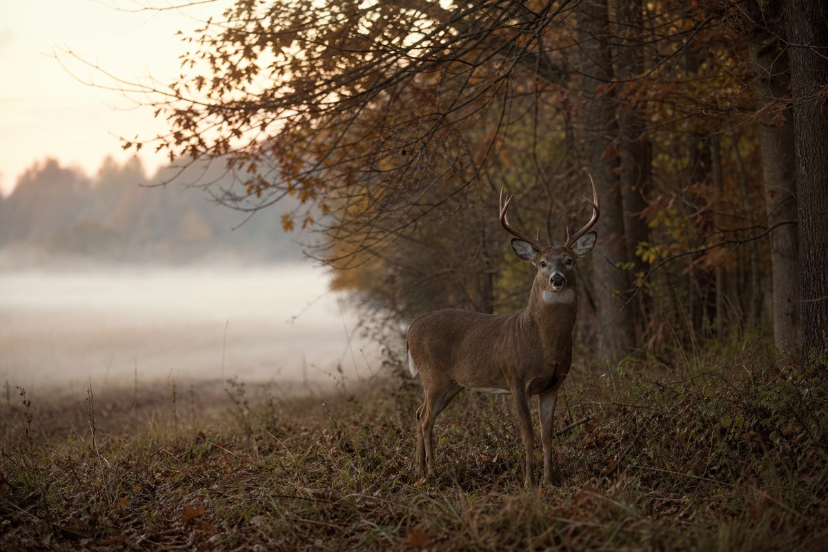
On this page
hunters picking stand sites on unfamiliar ground — public land or a new lease where you cannot afford to burn weekends guessing.
once the spot is chosen, protect it — see how to keep deer from smelling you.
Deer hunting success starts before opening day. Scouting can inform lawful access and observation plans, but it does not establish the cause of missed opportunities or guarantee success. This guide walks through a practical process for finding a good deer hunting spot — maps, sign, terrain, wind, and stand trees — without the keyword fluff older versions of this page piled on.
Start scouting early (and keep it quiet)
Begin months before the season if you can. In many regions that means late winter through spring, when last year’s rubs, scrapes, and trails are still readable and leaves are down. You get a clear look at bedding thickets and travel corridors without stomping the same ground every weekend in October.
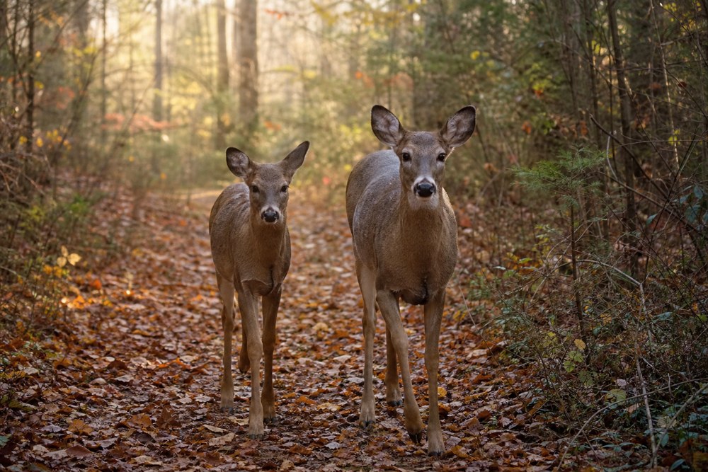
Plan permitted observation around local conditions, activity and access rules. No fixed midday-pressure rule or clock time establishes where deer will be; avoid repeated unnecessary disturbance.
Read deer sign before you hang a stand
Sign tells you whether a trail is active — not just old. Focus on a few reliable clues:
- Trails: Look for packed paths between thick cover and food. Follow from the side, not down the middle, so you leave less scent on the path deer use.
- Food: Crop edges, oak flats, soft mast, and green browse change by season. A trail that dead-ends at last year’s corn may be quiet once the field is bare.
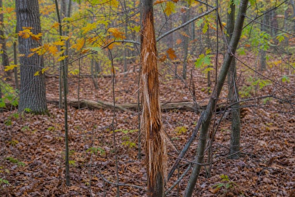
- Rubs: Fresh bark shreds on saplings mark buck travel. Rub lines along a ditch or saddle are more useful than a single isolated rub.
- Scrapes: Scrapes show communication and rut timing. Many get hit at night, so treat an active scrape as intel, not an automatic all-day sit.
- Tracks and droppings: Substrate, rain, drying and disturbance affect their appearance. Moisture or dropping size alone does not establish sign age, animal identity or a bedding exit. Compare multiple observations and use regional wildlife resources.
Stack clues. A trail plus fresh rubs plus a food source beats any one mark by itself.
Use maps before you walk
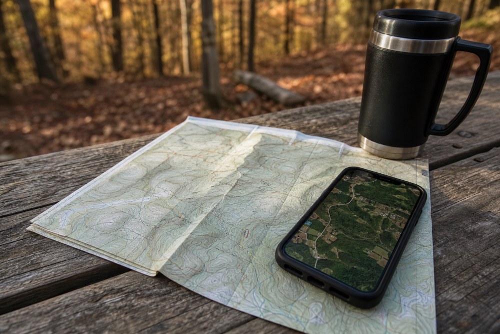
Public land and big private tracts both look endless until you shrink them on paper (or screen). Study topographic maps and satellite imagery for:
- Field edges and staging cover just inside the timber
- Saddles and benches that let deer cross ridges without sky-lining
- Hollows, ditches, and creek bottoms that funnel movement
- Power-line cuts and clearings that create shootable openings
- Access routes that keep you downwind and off the main deer paths
Mark two or three candidate spots, then confirm them on foot where access is permitted. Map and GIS layers are planning aids, not proof of a legal boundary or permission to hunt. Verify ownership, access, current land-manager rules and any required permission before entering or installing a stand.
Terrain features that concentrate deer
Saddles, cover edges, hollows and ditches can suggest candidate routes to observe. Their presence does not establish current deer use; compare local habitat, conditions and multiple permitted observations instead of treating a terrain feature as a reliable travel corridor.
A power-line corridor is not automatic permission to hunt or clear vegetation. Confirm landowner and land-manager restrictions, keep stands and equipment away from electrical lines, and choose only lawful shooting directions with a known safe backstop. Never shoot toward people, roads, buildings or utility infrastructure.
Pick a stand tree with wind and lanes in mind
Choose an allowed tree and stand combination that meets the manufacturer’s requirements; inspect the tree, stand and climbing equipment before use. Use a compatible full-body fall-arrest system and remain connected during ascent, descent and the hunt, following its instructions. Practise at ground level and have a fall-recovery and emergency-contact plan. A suitable tree alone does not prevent a fall.
Lawful access and a safe stand system come first; then assess local airflow. If airflow carries scent toward expected deer activity, reassess the location or approach rather than relying on the map alone; a wind observation does not predict every encounter. Have a backup tree for a second wind direction. Pair this with solid scent habits — see our guide on keeping deer from smelling you.
Stay clear of poison ivy, unstable banks, and other hazards. A “hot” trail is useless if you cannot sit there safely for a few hours.
Ask locals — carefully
Farmers, landowners, and hunters who work the same ground often know which fields deer hit after work or which creek crossing stays active. Ask politely, share what you can, and do not broadcast a pin drop on social media. Good spots stay good when traffic stays low.
Keep a candidate-site record
For each candidate, record the observation date, permitted access, habitat or sign actually seen, local wind conditions and unresolved questions. Separate a map prediction from an on-site observation; old sign does not establish present use.
Before returning, recheck permission, closures and whether the allowed stand and access plan remain suitable. Compare observations over time rather than treating one mark or encounter as proof of a reliable spot.
Simple scouting checklist
- Map 2–3 funnels between cover and food.
- Confirm fresh trails, rubs, or tracks on foot.
- Note prevailing winds for morning and evening sits.
- Confirm stand placement and marking rules, obtain required permission, avoid unauthorised cutting, and use the manufacturer’s fall-protection system whenever climbing or using an elevated stand.
- Leave the area alone until you hunt it.
Final thoughts
Finding a good deer hunting spot is pattern recognition, not luck. Start early, trust fresh sign over wishful thinking, let terrain funnel the deer, and protect the wind. Do that consistently and opening day feels like a plan — not a guess.
Deer scouting FAQ
Related Guides


Comments are closed.